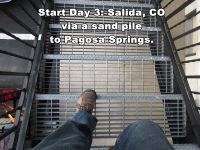
10/02/17: Day 3: Salida, CO to Pagosa Springs
Coming down for breakfast in Salida, I chose to stare through the stair treads. Vertigo is not one of my weaknesses.But we had a fitful sleep on our first night at any altitude. The only visible clock was on the microwave. I looked at it at 14:20, at 16:40, and at 19:55. Um, I knew that wasn't right! When I finally saw more light coming in around the room darkening shades I reached for Karen’s red flashlight and checked her clock. It was 6:45. Our alarm was set for 7:40, so we figured, close enough. This is MDT, so our bodies think the alarm should have gone off anyway.
--Click to Enlarge--
So we got to breakfast at 7:30. It was not quite as nice as the previous one. The waffle instructions said to fill the cup only halfway, and clearly people didn’t notice. Also, the bagels were tiny and very white, and the toaster was integral to the microwave and we couldn’t get it to toast. Another guy came in, and after trying, he pulled it away from the wall, unplugged it, and plugged it back in again. Then it works as I’d originally expected. As a fan of the IT Crowd, I mentally kicked myself for not thinking of "turning it off and back on again."
--Click to Enlarge--

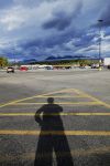
Stopped at a WalMart (FSM forgive us) to get an oxygen meter to see if that is why I am so winded up here in Colorado. Shadow selfie in the parking lot. Note the low and high clouds on the mountinas? Next slide, please...
--Click to Enlarge--
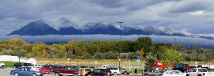
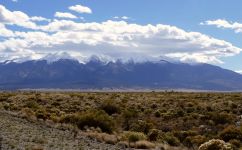
Looking west from the Salida Wal-Mart in the morning.
--Click to Enlarge--
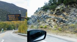
I usually am on the lookout for rocks and wildlife. Some cool banded rocks here.
--Click to Enlarge--
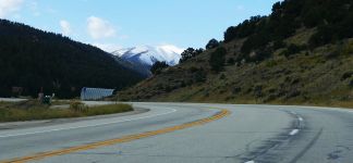
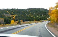
Country Road ♫
--Click to Enlarge--
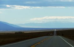
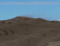
Heading south on US-285 to CO-17 to Great Sand Dune National Park one can see the blowing sand from many miles away. See that tan haze between the layers on the left?
--Click to Enlarge--
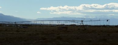
Sense of scale. These irrigators seem enormous if you stand under one. But note the sand dune framed under it, still many miles away.
--Click to Enlarge--
Desert scrub, pretty mountains
--Click to Enlarge--
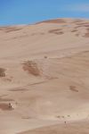
Sand blowing from the top of the dune.
--Click to Enlarge--
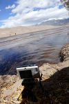
After resting from the walk in from the car (my %O2 kept dropping into the 80's) I set up a time lapse camera. Here I took a walk outside and looked around. It was very windy. Note the camera strap.
--Click to Enlarge--
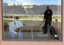
One of the time lapse frames, taken while I did a window reflection selfie.
--Click to Enlarge--
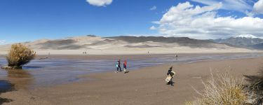
A shot for scale, showing people climbing the sand pile
--Click to Enlarge--
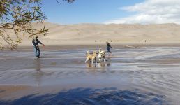
There is a shallow wash of melting snow running past the sand dune. I sat in a sheltered spot the sand by the stream to do a time lapse sequence. People with more stamina were climbing up the dune, and some sand-boarding back down.
--Click to Enlarge--
Sand blew into everything. It took days to get it out of all the working parts of my cameras.
--Click to Enlarge--
I'd picked a nice spot for people watching.
--Click to Enlarge--
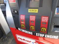
You know you are at altitude when the regular octane level drops to 85%.
--Click to Enlarge--
Drove past the Drive-In Inn. We'd stayed there once, some years ago. Watched the movie RV on the big screen from our motel room.
--Click to Enlarge--
Okay, it isn't called the Drive-Inn, but Movie Manor.
--Click to Enlarge--
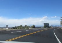
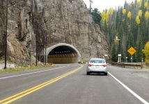
Drive carefully.US-160 probably near Del Norte.
--Click to Enlarge--
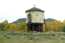
We are in steam engine railroad country. This tank may still be active.
--Click to Enlarge--
Rainy afternoon brings out the color in the aspens.
--Click to Enlarge--
Early warning?
--Click to Enlarge--
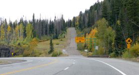
Runaway truck ramp. Monty Python Holy Grail, anyone?
--Click to Enlarge--
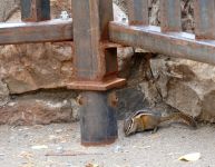
Pulled into a scenic overlook, and my first picture is of a chipmunk.
--Click to Enlarge--
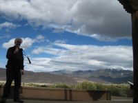
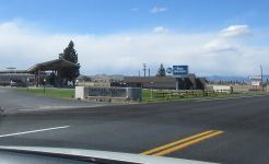
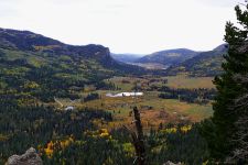
Scenic overlook
--Click to Enlarge--
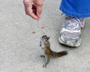
Karen teases the local wildlife
--Click to Enlarge--
We got into Pagosa Springs around 4, and the access bridge to the resort was closed. We parked and tried to Google. We tried to call. No luck. I figured there had to be a way around, so I directed Karen to,continue east, and we didn't see anything till we started up the hill out of town. I had her turn left and park at the grocery store...
--Click to Enlarge--
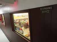
We went upstairs at the grocery store in Pagosa Springs to use the loo, and then got directions. Apparently, no one usually comes in to town from the east, as we did. But going back in from the west the detour was winding, but clearly marked.
--Click to Enlarge--
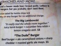
Up in Pagosa Springs, with my new pulsoximeter regularly telling me that I'm not getting enough. Before hitting the sulfur baths we're having burgers and brews. Just what the synapses ordered. Pant. — at Riff Raff Brewing Company.
--Click to Enlarge--
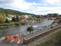
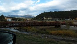
A winding detour through residential Pagosa Springs to get from the highway, across the Colorado River, to the resort, baths, and the Quality Inn.
--Click to Enlarge--
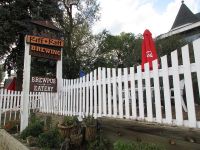
Riff Raff Brewing, a nice place to eat in Pagosa Springs.
--Click to Enlarge--